
Sector
Onshore wind,
on one map.
Seven crane pads two kilometres apart, floating roads over peat, an inter-array route nobody can point at, and an energisation date everything hangs on. A building tool cannot run this. A map can.
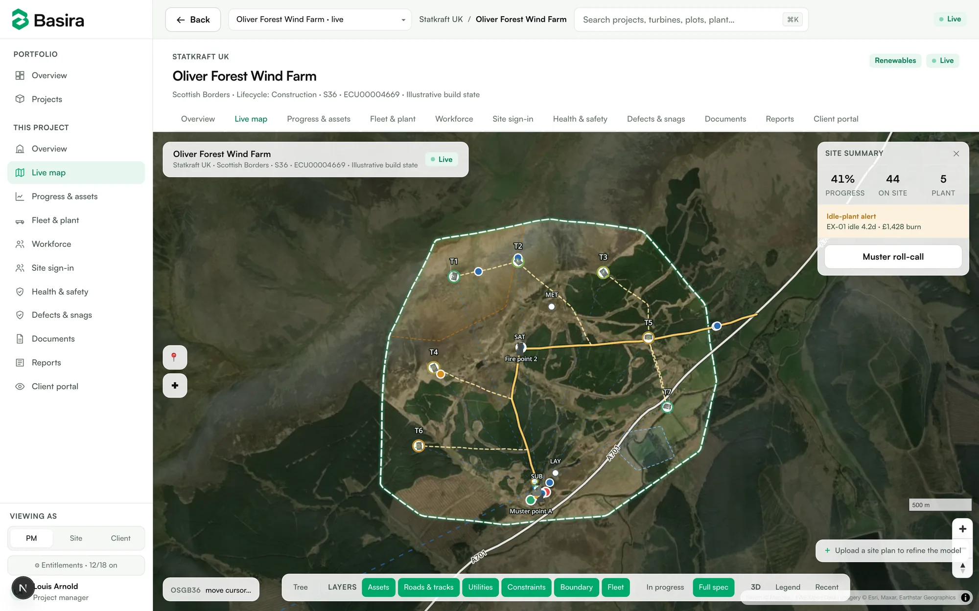
The live product — Oliver Forest demo, built from public S36 planning data
Turbines as records
Every turbine carries its spec, stage, contractors and photo evidence — and generates its own 3D model.
The ground is real
Tracks, cables and constraint zones at true coordinates on real terrain, from the consent drawings.
Muster for dispersed crews
Phone sign-in with location, live headcount, one-tap roll-call — built for sites without walls.